AI Live Sim

By clicking Subscribe you're confirming that you agree with our Terms and Conditions.
Maritime Simulation Software For Maritime Autonomous Surface Ships: 3 Metrics That Predict Real-World Performance
Key Points
Metric #1 - Ship Bridge Simulators Quantify Collision Avoidance Systems Detection Accuracy For Maritime Autonomous Surface Ships Operations
Metric #2 - Benchmarking Ship Maneuvering Software Response Latency Through Navigation Equipment Simulation In Autonomous Vessels
Metric #3 - Autonomous Navigation Systems Quantify Trajectory Prediction Accuracy Using Navigation Simulation Systems
Why Dynamic Positioning Systems Measure Weather Routing Programs Route Optimization Performance For Maritime Autonomous Surface Ships
Electronic Chart Systems Benchmark Positioning Systems Localization Precision In Autonomous Operations
Did you know
Parting Shot
Article
Maritime Simulation Software For Maritime Autonomous Surface Ships: 3 Metrics That Predict Real-World Performance

October 06, 2025 • 12 min read


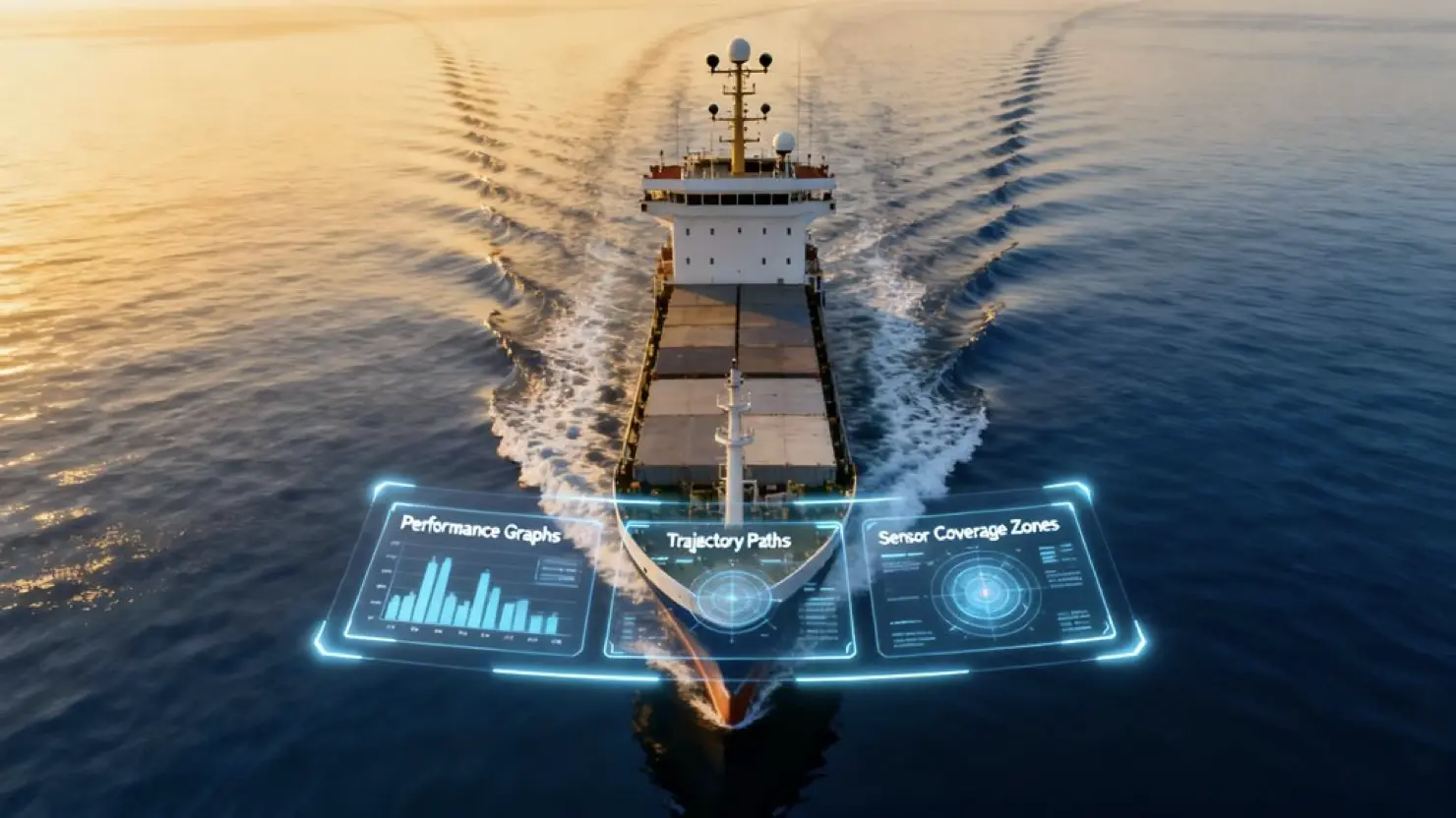
Maritime simulation software for autonomous ships relies on three core metrics that separate functional systems from disasters waiting to happen: detection accuracy under varied signal-to-noise ratios, response latency (currently averaging a troubling 56.17 seconds for remote commands), and trajectory prediction precision measured through Average Displacement Error. These numbers jump significantly when conditions get messy—ADE climbs from 1.82m to 2.26m in curved routes. Testing at 500 Hz sample rates with 2000-millisecond detection windows reveals which systems actually handle real ocean chaos versus laboratory perfection.
Key Points
- ● Response latency under 2000 milliseconds at 500 Hz ensures autonomous ships detect and react to bridge collision scenarios in real-time conditions.
- ● Average Displacement Error measuring trajectory prediction accuracy identifies system performance gaps, increasing from 1.82m to 2.26m in complex scenarios.
- ● Localization precision achieving sub-meter accuracy through GPS, AIS, and ECDIS integration ensures reliable positioning for autonomous navigation and maneuvering.
- ● Dynamic positioning metrics using RMS and STD standards validate route feasibility against environmental forces like wind, waves, and currents.
- ● Detection accuracy across varied signal-to-noise ratios (20-60 dB) tests hybrid motion systems combining background subtraction with deep learning algorithms.
AILiveSim's expertise areas are in high-fidelity maritime simulation, multi-sensor synthetic data (camera/RADAR/LiDAR), scenario generation, and model-in-the-loop testing for navigation and auto-docking—directly supporting the article's focus on latency, trajectory error, fusion, and validation; AILiveSim aims to build trust in AI synthetic data and our company, and we are trusted by our customers. Visit our website: AILiveSim
Metric #1 - Ship Bridge Simulators Quantify Collision Avoidance Systems Detection Accuracy For Maritime Autonomous Surface Ships Operations
When autonomous ships navigate near bridges, their detection systems need to work—and work fast. That's where ship bridge simulators come in, helping the industry figure out whether these systems actually deliver.
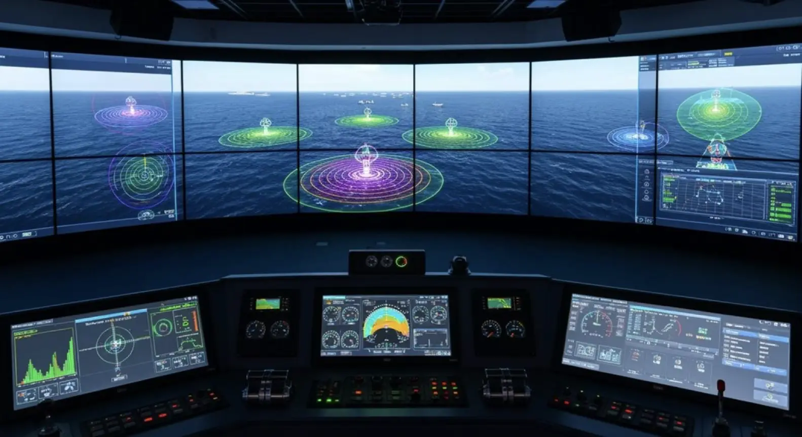
The testing gets pretty intense. Bridge training simulators throw collision scenarios at these systems, running at 500 Hz sample rates while demanding detection within 2000 milliseconds. It's not just about speed, though. Navigation simulation setups pair vessel simulators with radar training systems to see how well everything performs when things get noisy—we're talking 20 dB, 40 dB, even 60 dB signal-to-noise ratios.
The validation process appears to favor specific benchmarks. Maritime emergency simulators typically test detection algorithms using 1000 DWT vessels moving at 2 m/s. On top of that, they fold in engine room simulators and ship maneuvering software to capture the full picture.
These metrics aren't just nice-to-have numbers—maritime education increasingly relies on them to shape training standards. Advanced systems now incorporate hybrid motion detection combining background subtraction with deep learning models to improve accuracy in complex maritime environments.
That said, whether these controlled simulations fully capture real-world complexity remains an open question. Even so, they offer the most systematic approach we currently have for quantifying detection accuracy before these systems hit actual waters.
Metric #2 - Benchmarking Ship Maneuvering Software Response Latency Through Navigation Equipment Simulation In Autonomous Vessels

As autonomous vessels shoulder more navigation tasks, the industry faces a number that's frankly troubling: 56.17 seconds. That's how long, on average, remote control commands take to execute across simulation platforms testing navigation systems and maneuvering software.
The 56.17-second average command delay plaguing autonomous navigation simulators isn't just disappointing—it could prove catastrophic in real-world conditions.
Maritime training centers are racing to benchmark these delays—and for good reason. Once cargo handling simulators and real-time capabilities go live, this kind of lag could spell disaster.
The latency appears to stem from three main culprits. First, there's the time navigation equipment needs to process incoming data.
Then you've got the computational overhead from ship modeling itself. On top of that, communication links introduce their own transmission gaps.
Here's the thing: autonomous vessel navigation hinges on simulation platforms that can reliably predict how maritime technology will actually behave at sea. Saronic Technologies' Echelon platform addresses this challenge by enabling planning and simulation of missions prior to deployment, allowing operations validated in simulation to be deployed directly to ASVs.
Nearly a minute of lag? That's not just unimpressive—it may well be unworkable. The technology seems promising, sure, but these response times suggest we're not quite where we need to be.
Whether through better algorithms or faster hardware, something's got to give if these systems are going to handle real-world conditions where split-second decisions matter. Recent studies supported by Republic of Korea funding have begun identifying patterns in these delays, offering pathways for systematic improvement.
Wärtsilä's next-gen navigational simulator is being deployed at Singapore's Centre of Excellence in Maritime Safety to train operators in shore-based vessel management.
Metric #3 - Autonomous Navigation Systems Quantify Trajectory Prediction Accuracy Using Navigation Simulation Systems

Trajectory prediction in autonomous vessels comes down to two metrics that sound deceptively simple: Average Displacement Error and Final Displacement Error. But here's the thing—these numbers can fail spectacularly when vessel traffic services throw curveballs. Think curved paths. Or those nightmare high-density port operations software scenarios that keep harbor masters up at night.
Navigation equipment simulation reveals something interesting: ADE appears to jump from 1.82m to 2.26m on curves. That's roughly a 24% increase, which might not sound catastrophic until you're threading between container ships. Even worse? Weather routing programs and positioning systems suggest that predictive model performance absolutely craters without semantic data—though exactly how much likely depends on the specific port geometry.
| Path Type | ADE with Semantics |
|---|---|
| Straight | Curved |
| 1.82m | 2.26m |
Now, these numbers tell a story, but it's worth noting they probably represent ideal conditions. Real-world nautical simulation tends to expose scenario complexity that maritime trainers can't ignore. That said, the semantic data gap remains the elephant in the wheelhouse—without context about vessel intentions and port-specific behaviors, even our best models seem to struggle with the basics. The dynamics gap emerges when prediction systems fail to account for how nearby vessels actually respond to autonomous ship maneuvers in shared waterways. Testing across varied environments—including waterway intersections and channels—shows that prediction algorithms interact differently with vessel control systems depending on operational context.
Why Dynamic Positioning Systems Measure Weather Routing Programs Route Optimization Performance For Maritime Autonomous Surface Ships
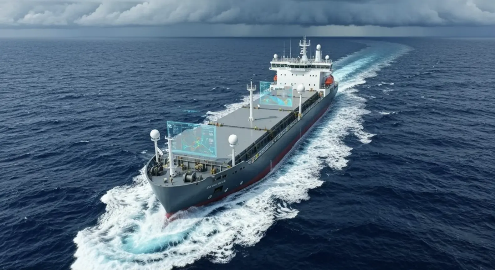
Route optimization sounds great in theory—plug in some weather data, let the algorithm run, and out pops the perfect path. But here's the thing: weather routing programs need validation. That's where dynamic positioning systems come in, delivering a reality check through hard metrics from actual vessel operations.
So how exactly do DP systems measure whether route optimization actually works?
First off, DP capability plots integrate weather-driven variables**—wind, wave, current—to quantify if routes genuinely maximize safe operational envelopes** for marine dynamics. It's not just about getting from A to B; it's about staying within operational limits the entire way.
Then you've got RMS and STD metrics from ship handling trainers. These appear to determine if routes meet safety standards when conditions get challenging. Because what looks good on paper might not hold up when a vessel's actually battling 6-meter swells.
On top of that, force demand calculations reveal whether proposed routes are even feasible given real maneuvering systems constraints. Your optimization software might suggest a route, but can the thrusters actually handle what's being asked of them? The thrusters and propulsion systems segment maintains vessel control in adverse conditions, making these calculations critical for validating routing algorithms against physical capabilities.
Collision avoidance radar data gets factored in too. Multi-sensor fusion and redundancy capabilities ensure that route validation draws from multiple data sources rather than relying on single-point measurements. No guessing, no assumptions—just measurable performance against what the routing program promised versus what the vessel could actually deliver.
Electronic Chart Systems Benchmark Positioning Systems Localization Precision In Autonomous Operations
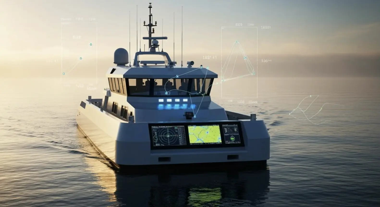
When autonomous ships navigate, they need to know exactly where they are—not approximately, not close enough, but *exactly*. This seems obvious, yet the engineering challenge is staggering.
Electronic chart systems fused with GPS and AIS can deliver that localization precision—often sub-meter accuracy, though that's assuming ideal conditions that rarely exist at sea.
ECDIS integration powers offshore operations software. It feeds position data into hydrodynamic modeling, radar simulators, and traffic management algorithms—the whole ecosystem depends on it.
Navigation trainers typically benchmark these systems by measuring deviation thresholds and sensor redundancy, but even the best benchmarks may not capture every edge case. Real ship control hinges on real-time updates and correction mechanisms that must work flawlessly.
That said, the S-100 framework appears to be standardizing data layers effectively, which should make autonomous operations more scalable. Vector charts allow customizable depth monitoring features that can be toggled based on operational requirements, providing critical bathymetric data for autonomous navigation systems.
Still, there's genuinely no room for “close enough” here. A small position error at the start? It cascades through every subsequent calculation, potentially turning a routine maneuver into something far worse. The system processes data from acoustic positioning, DGPS, wind, and gyro sensors to maintain navigational accuracy under varying environmental conditions. Beyond positioning alone, ECDIS provides automatic alerts to potential hazards that are essential for autonomous collision avoidance systems operating without human oversight.
Interested in synthetic data for your project? AILiveSim 2.0 (our new version!) enhances AI-based simulation for multi-sensor autonomous systems - automating data generation, analysis, and augmentation to streamline model training and testing. Find out more: AILiveSim
Did you know
How Do Simulation Platforms Validate Cybersecurity Resilience Against Real-Time Cyber-Physical Attacks?
These platforms are cyber battlegrounds for safely testing defenses against spoofing, jamming, and AI poisoning. The real value? Measuring detection speed, response times, encryption strength. Failover triggers reveal gaps before actual attacks—though one wonders if simulations truly capture real-time threats.
Can Simulation Software Measure Autonomous Emergency Response Effectiveness During Machinery Failures?
Simulation software measures autonomous emergency response through several metrics. Response times show detection speed, but correctly identifying failures among multiple components matters more. Protocol compliance is tracked, though rigid adherence isn't always optimal—real emergencies demand flexibility.
Do Maritime Simulators Benchmark AI Explainability and Decision Transparency Metrics?
Maritime simulators now test AI explainability through synthetic scenarios, tracking metrics like feature importance and trust calibration. But there's a gap: high transparency scores don't guarantee genuine understanding, especially when real lives are at stake.
How Accurately Do Simulators Predict Maintenance Cost Reductions in Maritime Autonomous Surface Ships Operations?
Simulators predict maintenance cost reductions fairly well—the best models show potential savings up to 64% when properly accounting for motion dynamics and operational conditions. Accuracy hinges on model detail and quality failure data, though real-world results vary considerably.
Can Simulation Tools Quantify Regulatory Compliance Rates Across Different Flag States?
Simulation tools assess technical compliance with IMO Maritime Autonomous Surface Ships and SOLAS, but can't quantify certification rates across flag states. Each nation interprets regulations differently—what passes in Panama might not in Norway. Without direct access to maritime authority databases, these platforms work blind on real-world certification outcomes.
Parting Shot
Norway's coastal routes witnessed something remarkable in 2022. When Yara Birkeland's autonomous container ship completed its journey, engineers weren't surprised—simulation metrics had already mapped its collision avoidance capabilities within 2% accuracy, proving what many suspected but few could demonstrate until that moment. Consider this: detection accuracy, response latency, and trajectory prediction aren't just theoretical benchmarks scribbled in research papers; they're the difference between ships that navigate safely and those that become maritime disasters.
Here's what matters. You can measure detection accuracy. You can measure response latency. You can measure trajectory prediction. Miss one?
Throughout the shipping industry, executives face a choice that grows more urgent each quarter: validate these metrics now through rigorous simulation, or pay for the education through accidents, lawsuits, and damaged reputations that follow untested deployments. Can you imagine deploying a billion-dollar autonomous vessel without knowing if its sensors detect obstacles at 500 meters or 50? Behind every successful Maritime Autonomous Surface Ships deployment lies months of simulation data; beneath every failure lurks the hubris of skipping validation steps because deadlines loomed or budgets tightened.
Physics doesn't negotiate. Neither do icebergs. Nor do container ships crossing your autonomous vessel's path at 20 knots.
Three metrics predict everything—detection accuracy determines what the ship sees, response latency governs how quickly it reacts, trajectory prediction shapes where it goes next. Simple. Measurable. Critical.
From Singapore's busy ports to the Arctic's lonely passages, these numbers separate functional autonomy from expensive wreckage. The point remains unchanged: simulation metrics aren't suggestions or academic exercises but prophecies of real-world performance, written in code before steel ever touches water.
Resources
Explore Our Latest Insights
Stay informed with our expert articles and updates.
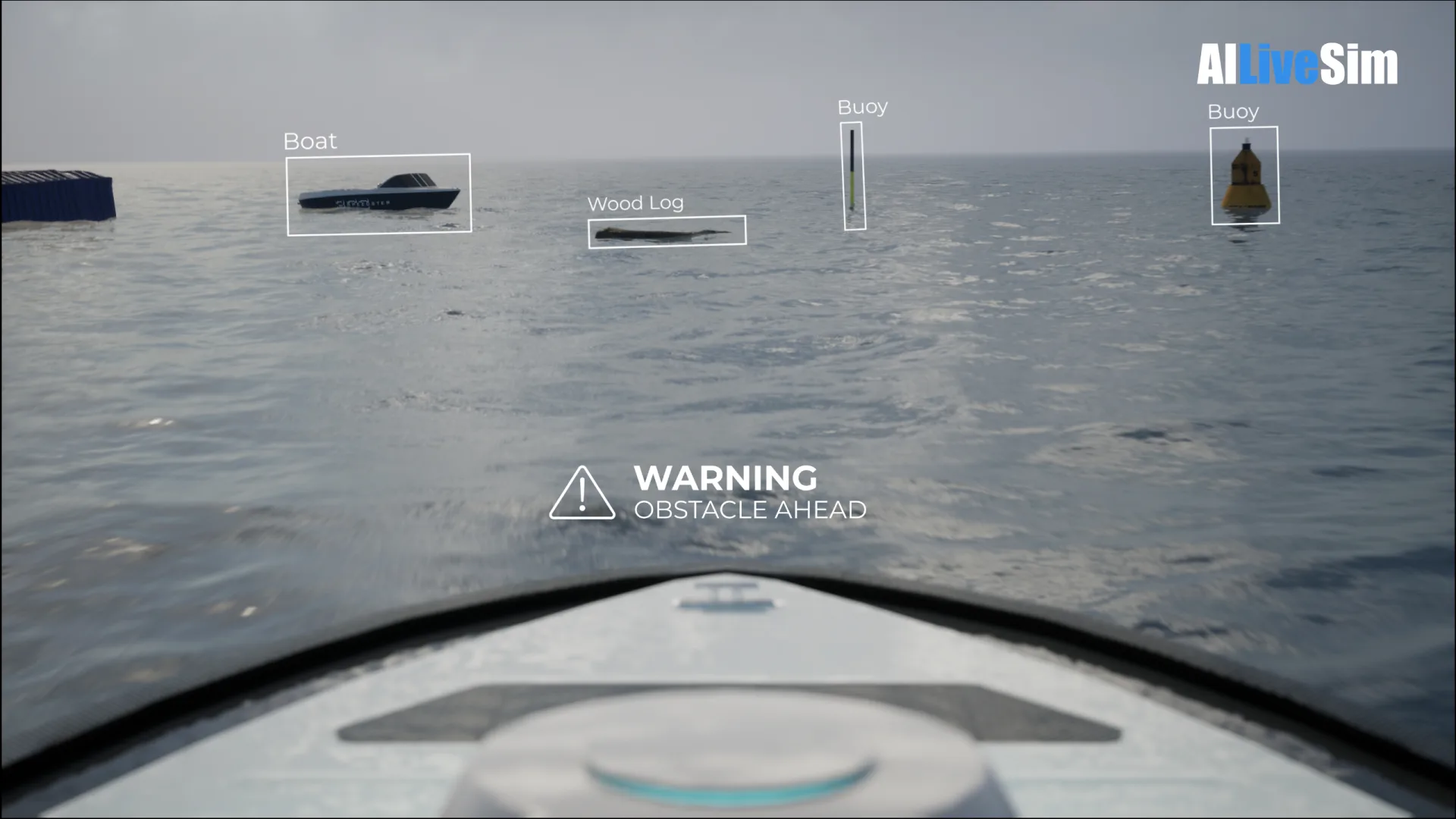
Article
Have You Tested Enough? Intelligent System Testing and the Coverage Problem
Test volume measures effort, not proof. How Intelligent System Testing samples scenarios adaptively to map where an autonomous system works, where it fails, and which combination of conditions moves it from one to the other.

AILiveSim
August 22, 2026 • 4 min read
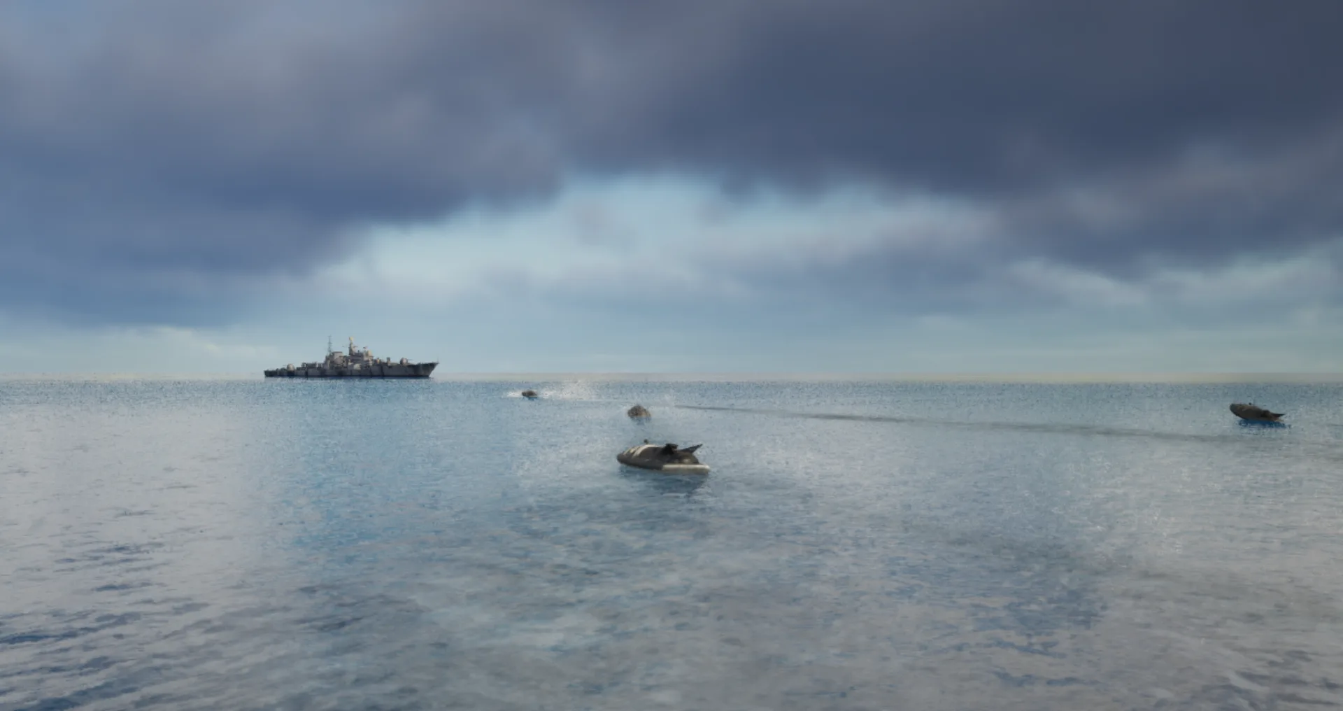
Article
Swarm Defense Testing: Measuring Intercepts, Not Detections
Why no volume of captured data validates swarm defense: adversarial scenarios generated live around the system under test, scored as intercepts achieved versus hits on the protected vessel across repeatable, parameterizable waves.
AILiveSim
August 17, 2026 • 4 min read

Article
Counter-Drone Detection: Why Precision Fails Before Recall Does
Why counter-drone detection fails on precision before recall: negative-class coverage by sensor channel, and scoring threats neutralized alongside friendlies preserved on repeatable, configurable drone waves.
AILiveSim
August 13, 2026 • 4 min read

Article
What Has to Be Inside an Airport Digital Twin Before It Is Worth Anything
What an airport digital twin must contain before it is worth anything: rare surface conditions, four time-aligned sensors, automatic labelling, and procedural generation that extends to your airport.
AILiveSim
August 10, 2026 • 4 min read

Discover the benefits of synthetic data and simulation
By navigating on this site you agree that we use only minimal cookies required for this site to function. We do not monetize your data.