AI Live Sim

By clicking Subscribe you're confirming that you agree with our Terms and Conditions.
Sensor Fusion Framework: How to Integrate Multiple Maritime Surveillance Technologies
Key Points
Sensor Fusion Frameworks Can Integrate Distributed Surface Water Sensor Networks for Maritime Operations
What Integration Strategies Make Detection Algorithms Optimize Ship Identification Systems in Maritime Sensor Fusion?
Maritime Sensor Fusion Integrates Radar Systems with Advanced Radar Tracking Systems
Why Do Integrated Maritime Frameworks Combine Sonar Equipment through Comprehensive Sonar Detection Arrays
Sensor Fusion Architectures Integrate Satellite Platforms via Sophisticated Satellite Imaging Platforms
What Makes Maritime Surveillance Frameworks Integrate Drone Aircraft as Autonomous Drone Surveillance Platforms
Integrated Maritime Systems Can Enhance Camera Systems Through Advanced Infrared Detection Systems
Did You Know
Parting Shot
Article
Sensor Fusion Framework: How to Integrate Multiple Maritime Surveillance Technologies

September 9, 2025 • 16 min read


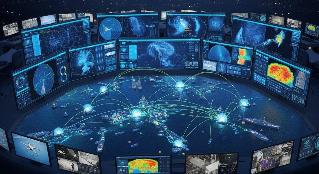
Maritime sensor fusion frameworks basically duct-tape together radar, sonar, cameras, and satellite feeds into one detection system that actually works. These systems crunch gigabytes of data per second, merging radar blips with thermal signatures while autonomous drones buzz overhead spotting boats that satellites miss. The magic happens when adaptive algorithms filter the noise, achieving 95-99% detection accuracy in perfect conditions—though storms still mess everything up. Advanced frameworks layer multiple platforms for comprehensive coverage that single systems can’t match.
Key Points
- ● Implement hierarchical data aggregation algorithms that merge radar, visual, and acoustic sensor inputs while reducing redundant transmissions by 40-60% through adaptive clustering methods.
- ● Deploy real-time communication protocols managing gigabytes per second with millisecond response times across distributed surface sensors and underwater acoustic modems.
- ● Utilize AI/ML-based fusion algorithms with modular architectures to process multi-temporal data streams simultaneously, achieving 95-99% detection accuracy in maritime environments.
- ● Integrate slew-to-cue functionality that automatically points cameras at radar-detected targets while cross-referencing AIS data and Doppler shifts for enhanced tracking.
- ● Establish multi-platform sonar arrays using AUVs and USVs with piezoelectric hydrophones to provide layered underwater threat detection and minimize false alarms.
AILiveSim's expertise areas are in simulation-based AI development, sensor simulation, and synthetic data generation—capabilities that directly support the testing and validation of complex maritime surveillance systems like those described in this sensor fusion framework. As organizations implement these advanced multi-sensor architectures, AILiveSim aims to build trust in AI synthetic data by providing controlled simulation environments where detection algorithms, communication protocols, and sensor integration strategies can be thoroughly tested before real-world deployment. Visit our website: AILiveSim
Sensor Fusion Frameworks Can Integrate Distributed Surface Water Sensor Networks for Maritime Operations
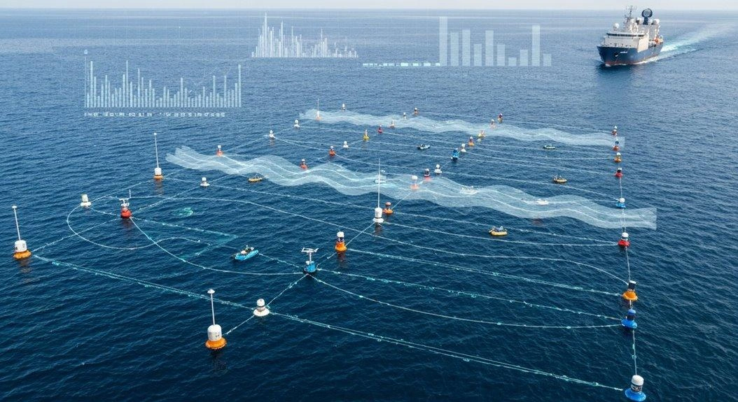
The real magic happens when these sensor networks actually talk to each other—shocking, right? Thing is, modern frameworks handle real-time communication protocols that let distributed surface sensors coordinate like a well-oiled machine.
We’re talking gigabytes of data per second here, all while maintaining those precious millisecond response times that operators depend on.
But hang on—data aggregation from multiple nodes isn’t just about dumping information into a pile. Far from it. The smart algorithms at work here filter, prioritize, and merge what can be wildly different data formats.
You’ve got acoustic sensors speaking one language, RF sensors another, optical sensors yet another. Somehow these systems need to translate all that heterogeneous input into something operators can actually use. Different integrate these together and can demonstrate this challenge by connecting underwater acoustic modems to surface gateway nodes, creating a bridge between subsurface sensor networks and topside command centers.
That said, whether this coordination always works flawlessly is another question. The frameworks appear to handle the basics well enough, though one might wonder how they cope when, say, a storm degrades optical sensor quality while simultaneously increasing acoustic noise. The SM-WSN architecture addresses this by integrating RF and acoustic communication systems to maintain reliable connectivity even when individual channels become compromised.
Even so, the capability to process these massive data streams in near real-time suggests we’re moving toward genuinely integrated maritime awareness—assuming, of course, the algorithms can keep pace with increasingly complex operational demands. The SecureSense system exemplifies this evolution, monitoring spectrum from 700 MHz to 2700 MHz to provide real-time intelligence without requiring operator intervention during autonomous operations.
Implementing Real-Time Communication Protocols for Distributed Surface Water Sensor Coordination
When maritime sensor networks stretch across miles of open water, getting these floating gadgets to talk to each other becomes a real headache.
Think about it—you’ve got sensors bobbing around in choppy seas, maybe ten miles apart, and they need to share data constantly. The real-time analytics framework demands robust communication links between nodes, sure, but that’s easier said than done when salt spray is corroding your equipment and storms knock out half your network.
Multi-sensor architecture relies on dynamic network topology that adapts when sensors drift or fail. Sounds great in theory. In practice, though, you’re likely dealing with nodes that go dark without warning or float way off their assigned positions.
The automated detection engine needs low-latency data—we’re talking milliseconds here—which seems almost laughable when your sensors are communicating through multiple relay points. Surface water sensors face similar challenges to underwater networks, where acoustic signals become necessary for reliable data transmission between submerged nodes.
That said, satellite protocols work great. Well, they appear to work great if you’ve got deep pockets for those energy bills.
A single sensor burning through battery power to maintain satellite uplink might need replacement every few weeks instead of months. Even so, for critical monitoring applications, it may be the only reliable option out there.
What Integration Strategies Make Detection Algorithms Optimize Ship Identification Systems in Maritime Sensor Fusion?
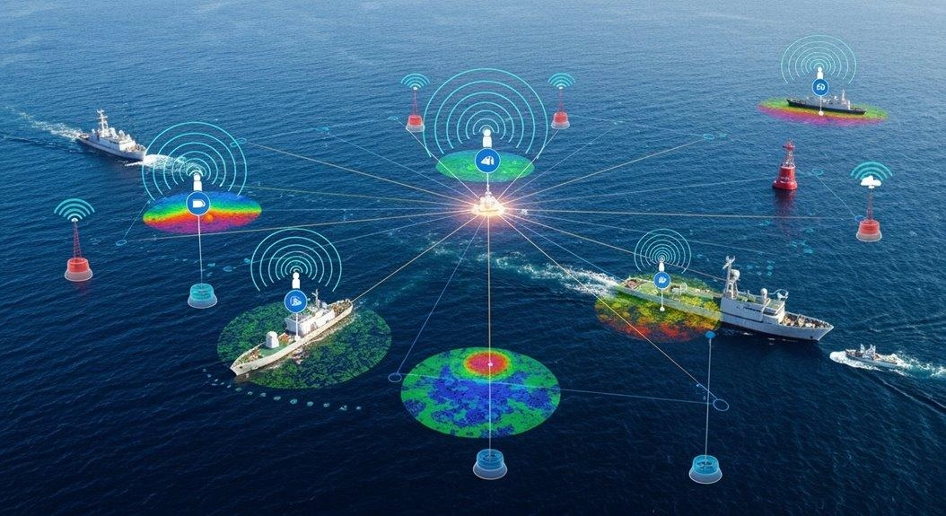
As maritime surveillance systems get smarter, detection algorithms face a simple truth: single sensors just don’t cut it anymore. Think about it—a radar might catch a vessel’s position, but what about its visual profile? Or its heat signature?
Ship identification systems now merge maritime radar with track correlation through information fusion platforms. It’s fascinating, really. The magic happens when these systems stop treating sensors as isolated tools and start treating them as puzzle pieces.
Take feature-level fusion, which combines radar and camera data—suddenly you’re not just tracking a blip, you’re tracking a blip with visual confirmation. Then temporal smoothing comes in to reduce those annoying false positives that plague single-sensor systems. On top of that, Kalman filters seem to predict vessel trajectories with surprising precision, though their effectiveness likely depends on sea conditions and vessel behavior patterns.
The result? Detection algorithms appear to achieve 95-99% accuracy. No kidding.
That said, these numbers probably come from controlled environments or specific use cases. Real-world maritime conditions—fog, heavy seas, cluttered harbors—might tell a different story. Modern platforms now incorporate real-time data analysis to adapt detection algorithms as environmental conditions change, processing sensor inputs instantaneously rather than in batches..
Even so, the improvement over single-sensor systems remains substantial enough to justify the complexity.
Maritime Sensor Fusion Integrates Radar Systems with Advanced Radar Tracking Systems
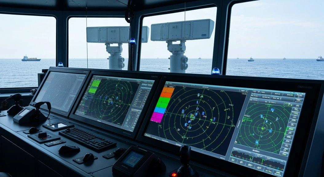
Radar systems talk to each other now—and that changes everything. Well, almost everything. Maritime surveillance got smart, though “smart” might be overselling it slightly.
Radar networks finally learned to share notes—maritime surveillance just got uncomfortably effective.
What we’re really seeing is advanced radar tracking systems that merge data from four sources simultaneously. They’ve built asignal correlation system that actually works, most of the time anyway. The slew-to-cue functionality automatically points cameras at radar-detected targets, cutting down the manual work operators used to juggle.
Here’s where it gets interesting. Sensor fusion handles the messy stuff—sea clutter, those overlapping targets you get in busy shipping lanes, the false positives that drove operators crazy for decades. The tracking achieves 1.5m precision , which makes a real difference when you’re trying to distinguish between vessels operating close together. On top of that, the tech integrates Doppler shifts with AIS data, which seems to solve a bunch of old problems while probably creating a few new ones we haven’t discovered yet. The system builds a normalcy model from regular vessel detection patterns, flagging anything that deviates as a potential threat worth investigating.
Result? Ships can’t hide anymore. Or at least, it’s gotten significantly harder. Even the small ones—fishing vessels, speedboats, those sketchy cargo transfers that happen just outside territorial waters—they’re all visible now.
That said, “can’t hide” assumes everything’s working perfectly, which anyone who’s dealt with maritime tech knows is rarely the case.
Why Do Integrated Maritime Frameworks Combine Sonar Equipment through Comprehensive Sonar Detection Arrays
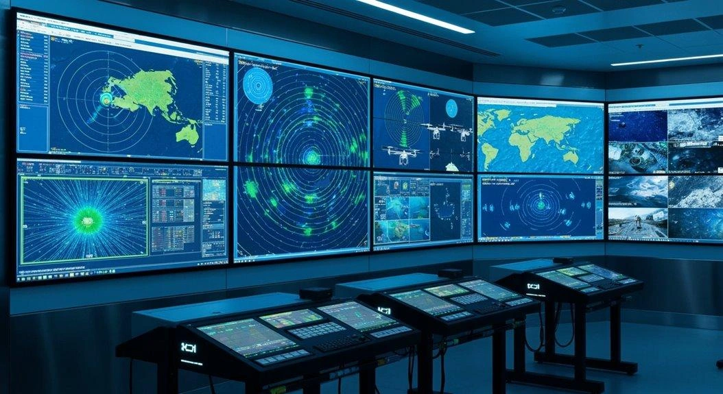
Maritime surveillance frameworks don’t mess around when it comes to underwater threats. Why? Well, single sensors just can’t cut it anymore—that’s where integrated sonar equipment comes in, working through comprehensive detection arrays that actually get the job done. Think of it this way: these multi-platform arrays stretch coverage zones across massive underwater territories. Pretty impressive, really.
What’s particularly clever is how their distributed sensor elements enable the kind of precise direction finding that would likely make any submarine captain break into a cold sweat. You’ve got sensors spread out like a net, each one contributing to a bigger picture that no single unit could possibly capture alone. Modern systems incorporate piezoelectric or fiber-optic hydrophones depending on mission requirements, with the higher sensitivity versions significantly reducing interference in complex acoustic environments. Advanced phased array configurations process hundreds of transducer elements simultaneously, creating comprehensive 3D images from a single acoustic ping.
Here’s the real kicker though—and this is where things get interesting. These systems appear to achieve something close to redundant signal processing, with multiple arrays essentially cross-checking what they’re hearing. Leading manufacturers have developed specialized sonar centers to consolidate all the technical expertise needed for these complex integration challenges.
The payoff? A dramatic reduction in those annoying false alarms that traditionally plague single-sensor setups. That said, “dramatic” might be putting it strongly; let’s say it’s a significant improvement that operators have come to rely on. Because when you’re tracking potential threats underwater, the last thing you need is your equipment crying wolf every five minutes.
Enhancing Underwater Detection Coverage Through Multi-Platform Sonar Equipment Integration
The ocean doesn’t care about your fancy surface sensors. Below the waves, threats lurk—and that’s exactly why multi-platform sonar might just change everything.
Think about it: layered coverage from AUVs, USVs, and seabed units working together. These overlapping sonar arrays seem to fill the blind spots that single systems inevitably miss.
Then there’s the smart integration piece—acoustic sensors that cross-reference detections, which appears to cut down false alarms significantly. Though let’s be honest, no system eliminates them entirely.
On top of that, the persistent surveillance framework promises something close to 24/7 marine safety monitoring. Whether it truly delivers round-the-clock coverage probably depends on maintenance cycles and battery life, but the intent is clear.
No gaps? Well, that’s the goal anyway.
No excuses? Maybe a few when equipment fails or budgets get slashed. Still, what we’re looking at appears to be the most comprehensive underwater detection we’ve managed so far.
Sensor Fusion Architectures Integrate Satellite Platforms via Sophisticated Satellite Imaging Platforms
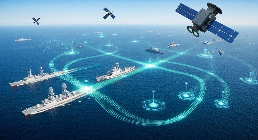
Maritime surveillance evolved into sophisticated satellite networks beyond the experimental phase. Integration merges SAR with optical imaging, ML handles multi-sensor vessel detection, real-time fusion combines infrared/radar/visible spectrum into a unified picture.
Now, these frameworks can and do synthesize massive amounts of information.
Ground stations handle massive computational loads unthinkable a decade ago. "Comprehensive" surveillance is optimistic—best systems have blind spots, weather limits, processing delays. Still dramatic improvement over previous maritime security.
What Makes Maritime Surveillance Frameworks Integrate Drone Aircraft as Autonomous Drone Surveillance Platforms
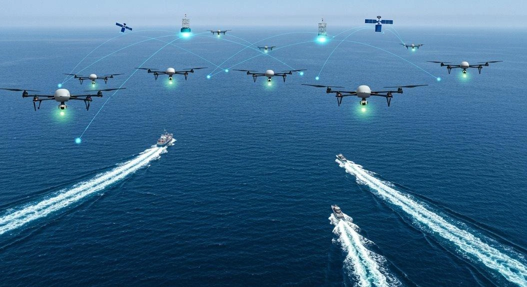
Autonomous drones extend satellite maritime surveillance as flying sensor fusion machines—packing infrared, radar, and AI tracking. They swap payloads like smartphone apps and chat real-time with boats and other UAVs.
The reality is: maritime surveillance arguably gets way more interesting when your eyes can hover, think, and coordinate themselves.
That said, it’s not just about having flying cameras anymore. These systems appear to be fundamentally changing how we monitor vast ocean spaces—though whether they’re truly “taking over” from satellites might depend on who you ask and what specific surveillance needs we’re talking about.
Integrated Maritime Systems Can Enhance Camera Systems Through Advanced Infrared Detection Systems
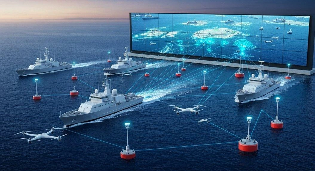
Most integrated maritime systems basically treat infrared detectionlike the secret sauce nobody talks about at parties.
Fair enough—it’s not exactly cocktail conversation.
But what’s fascinating is: advanced infrared detection systems genuinely transform regular camera systems into something approaching night-vision superheroes.
Three capabilities seem to matter most:
- Thermal signatures catch sneaky vessels that radar tends to miss—though let’s be honest, “sneaky” might just mean small fishing boats.
- 360-degree coverage appears to eliminate blind spots, or at least the obvious ones.
- Real-time monitoring works through fog, darkness, storms (well, mostly).
That said, maritime surveillance technologies suddenly get smarter when you add this layer.
Situational awareness likely skyrockets—assuming your operators know what they’re looking at.
Even with occasional false positives from whale pods or debris fields, that’s still the infrared advantage most systems can’t match.
Interested in synthetic data for your project? AILiveSim 2.0 (our new version!) enhances AI-based simulation for multi-sensor autonomous systems - automating data generation, analysis, and augmentation to streamline model training and testing. Find out more: AILiveSim
Did You Know
What Cybersecurity Protocols Protect Sensor Fusion Frameworks From Maritime Cyber Threats?
Maritime sensor fusion uses AES encryption, ECDSA signatures, and identity-based auth. Zero-trust architectures assume nothing's trusted by default. Network segmentation limits breach spread. IDS monitors suspicious activity. Blockchain's emerging for tamper-proof logs. Integration without operational bottlenecks remains challenging.
How Much Does Implementing a Complete Sensor Fusion Framework Typically Cost?
Complete maritime sensor fusion frameworks cost €5-10M (avg €8M). COTS components + open-source software can cut costs 50-75% for prototypes. Think digital lighthouses—powerful but pricey, though budget options work fine for many uses.
What Training Requirements Exist for Operators Managing Integrated Maritime Surveillance Systems?
Operators need STCW standards compliance, radar observer qualifications, and IALA V-103-1 courses. Emergency response training and security protocols are essential. Technical maintenance skills separate adequate from effective operators.
How Do Sensor Fusion Frameworks Handle Conflicting Data From Multiple Sensors?
Fusion frameworks use Bayesian methods to weigh sensor readings by likelihood. High-precision sensors get more weight, but weighting adjusts dynamically. Statistical association techniques match measurements to objects using adaptive heuristics.
What Backup Systems Activate When Primary Sensor Fusion Components Fail?
Backup IMUs handle navigation, secondary GNSS maintains positioning. Kalman filtering fills sensor gaps, RF links preserve comms. Cold standby systems auto-activate via fault detection—brief lag during handover but prevents critical failures.
Parting Shot
Maritime sensor fusion? It transforms ocean surveillance. It stitches together the impossible.
Picture this: radar sweeping endless horizons, satellites peering down from space, drones buzzing through salt-laden air—each collecting fragments of truth about our vast oceans. The framework weaves these technologies into something extraordinary. The framework creates clarity from chaos. The framework reveals what was hidden.
Then comes precision.
Behind the scenes, algorithms crunch through terabytes of data; they process patterns you couldn’t imagine, correlating ship movements across multiple sensors simultaneously. Complex? Absolutely. When these systems harmonize their inputs—radar pings, infrared signatures, electromagnetic emissions, visual feeds—the maritime domain becomes transparent as glass, revealing every vessel, every anomaly, every potential threat lurking beneath deceptively calm waters.
Ships can’t hide.
No longer do vessels slip through surveillance gaps. Through rain, fog, darkest nights: fusion framework watches. Silicon and code transform sensor feeds into intelligence. Smugglers lose shadows, rescue ops gain time, naval forces achieve awareness. Oceans shrink, threats surface, mystery yields.
That’s progress.
Resources
Explore Our Latest Insights
Stay informed with our expert articles and updates.

Article
What Has to Be Inside an Airport Digital Twin Before It Is Worth Anything
What an airport digital twin must contain before it is worth anything: rare surface conditions, four time-aligned sensors, automatic labelling, and procedural generation that extends to your airport.

AILiveSim
August 10, 2026 • 4 min read

Article
Counter-Drone Detection: Why Precision Fails Before Recall Does
Why counter-drone detection fails on precision before recall: negative-class coverage by sensor channel, and scoring threats neutralized alongside friendlies preserved on repeatable, configurable drone waves.
AILiveSim
August 10, 2026 • 4 min read
Article
Swarm Defense Testing: Measuring Intercepts, Not Detections
Why no volume of captured data validates swarm defense: adversarial scenarios generated live around the system under test, scored as intercepts achieved versus hits on the protected vessel across repeatable, parameterizable waves.
AILiveSim
August 10, 2026 • 4 min read
Article
Have You Tested Enough? Intelligent System Testing and the Coverage Problem
Test volume measures effort, not proof. How Intelligent System Testing samples scenarios adaptively to map where an autonomous system works, where it fails, and which combination of conditions moves it from one to the other.
AILiveSim
August 10, 2026 • 4 min read


Discover the benefits of synthetic data and simulation
By navigating on this site you agree that we use only minimal cookies required for this site to function. We do not monetize your data.